UAV / Drone Road and Bridge Survey | Denver, CO
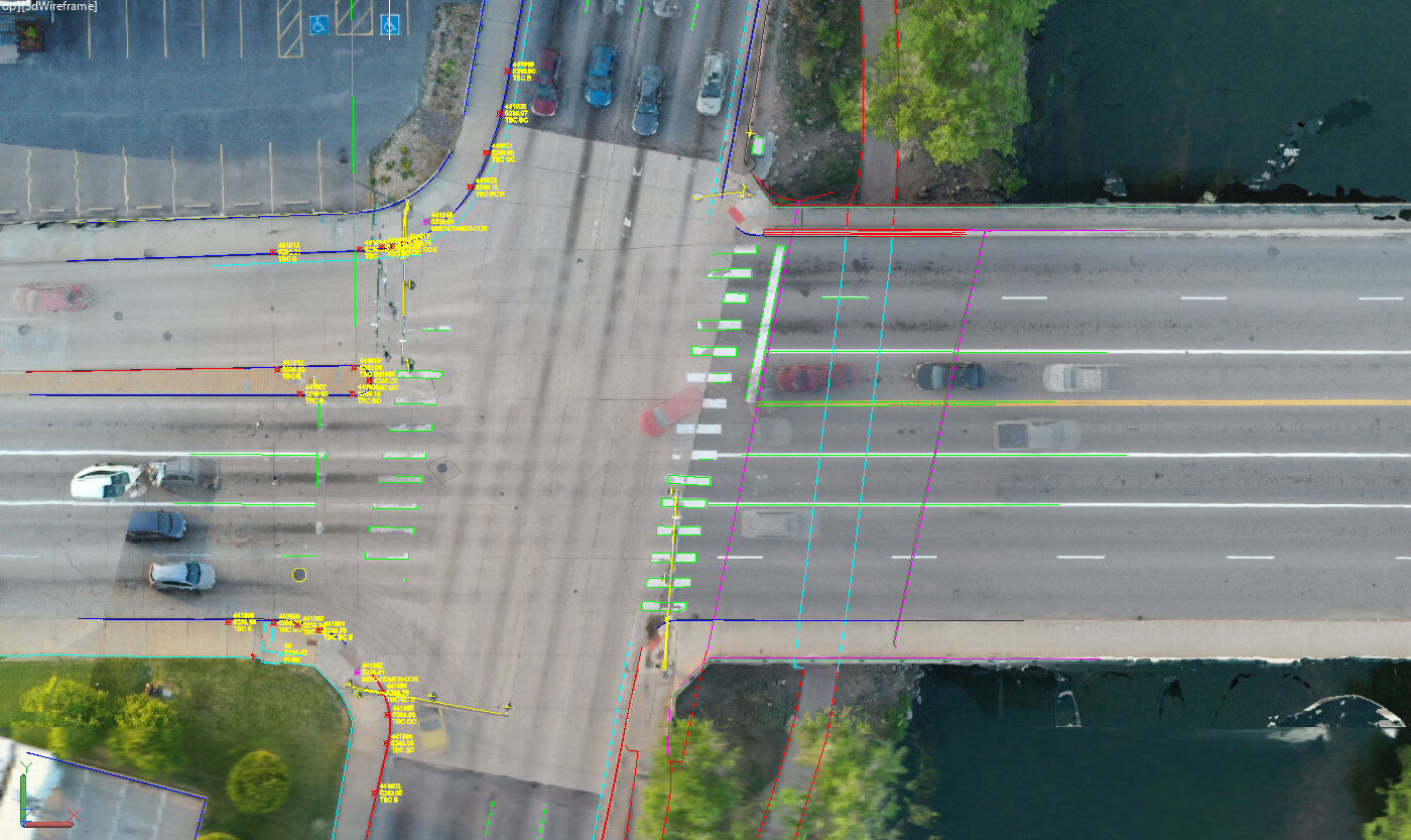
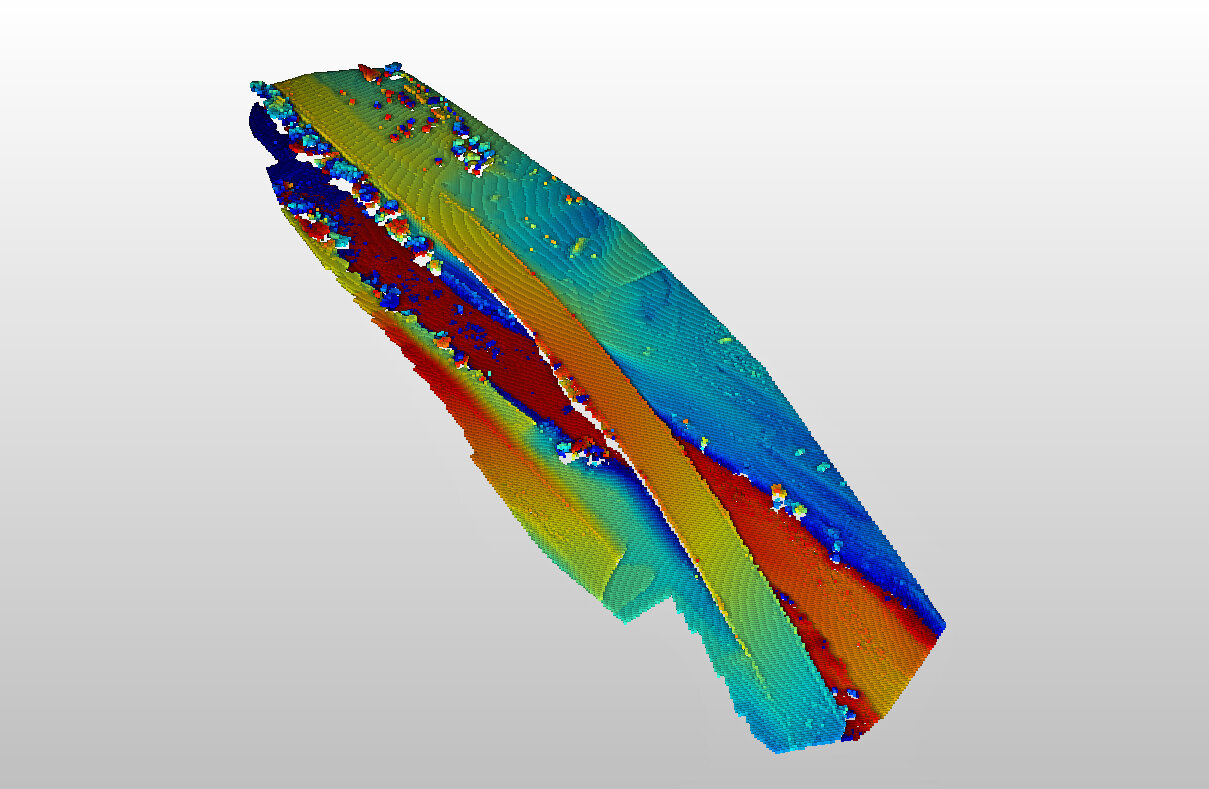
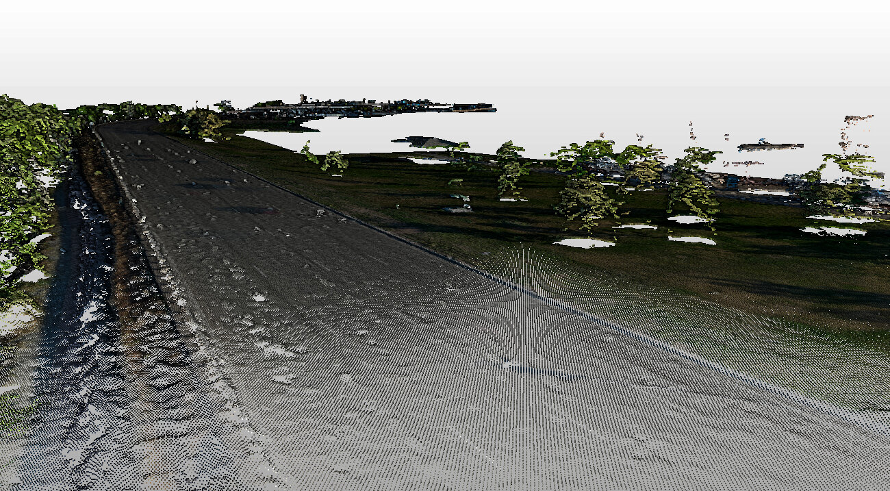
3D Data Pro completed a survey of South Platte River Road near Denver’s massive Broadway Station development. Using a combination of 3D laser scanning (LiDAR), survey grade GPS targets, and drone survey techniques, 3D Data Pro located existing road striping, utilities, pedestrian walk and bike paths, top and bottom of curbs, structure, signage, buildings, manholes, storm sewers, road surfaces, and topography over more than a mile of existing road and bridge areas. 3D Data Pro’s CAD diagram and topographical maps were aligned to our client’s local coordinate system using GNSS/GPS, providing feedback on error tolerances. The project was delivered in Autodesk Civil 3D and referenced into our client's CAD drawings. Using these technologies reduced the site survey time to less than one day.