
Gross Reservoir Dam | Boulder County, CO
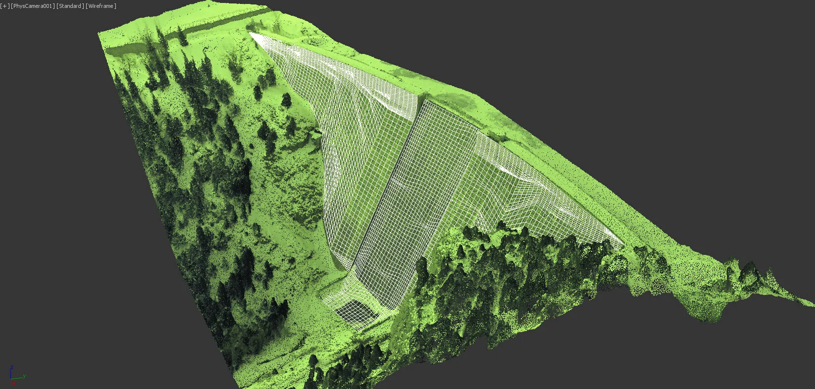
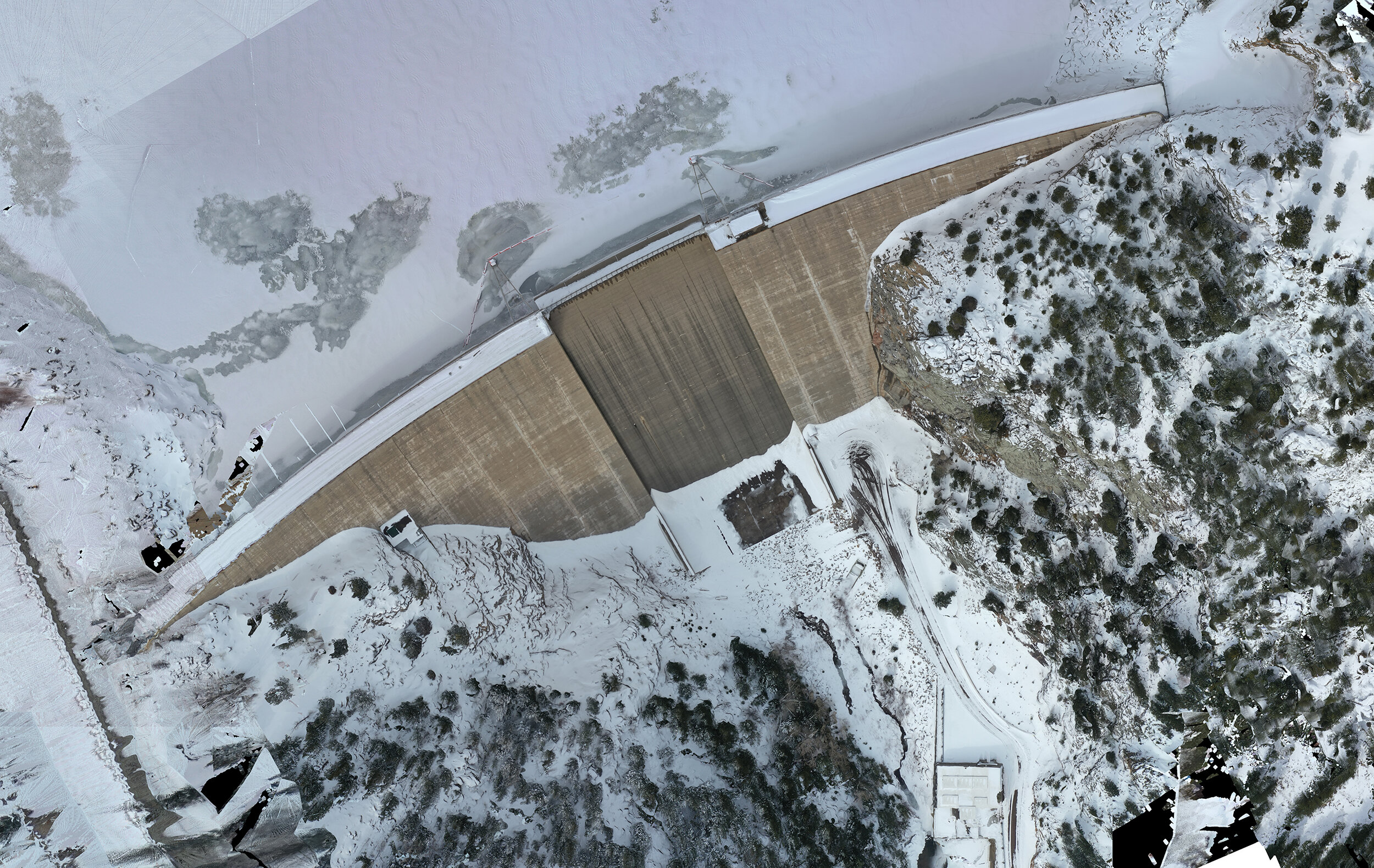
This project was used to test our long range documentation capabilities with emphasis placed on the documentation of a the concrete . Georeferenced aerial images provided critical insight into the health of the concrete and structure. Using photogrammetry to stitch the drone images together, a 3d image of the site was constructed. A topographical map was produced. The result was a scaled, full color 3D model that can be rechecked annually using the same process to ensure safety and functionality.