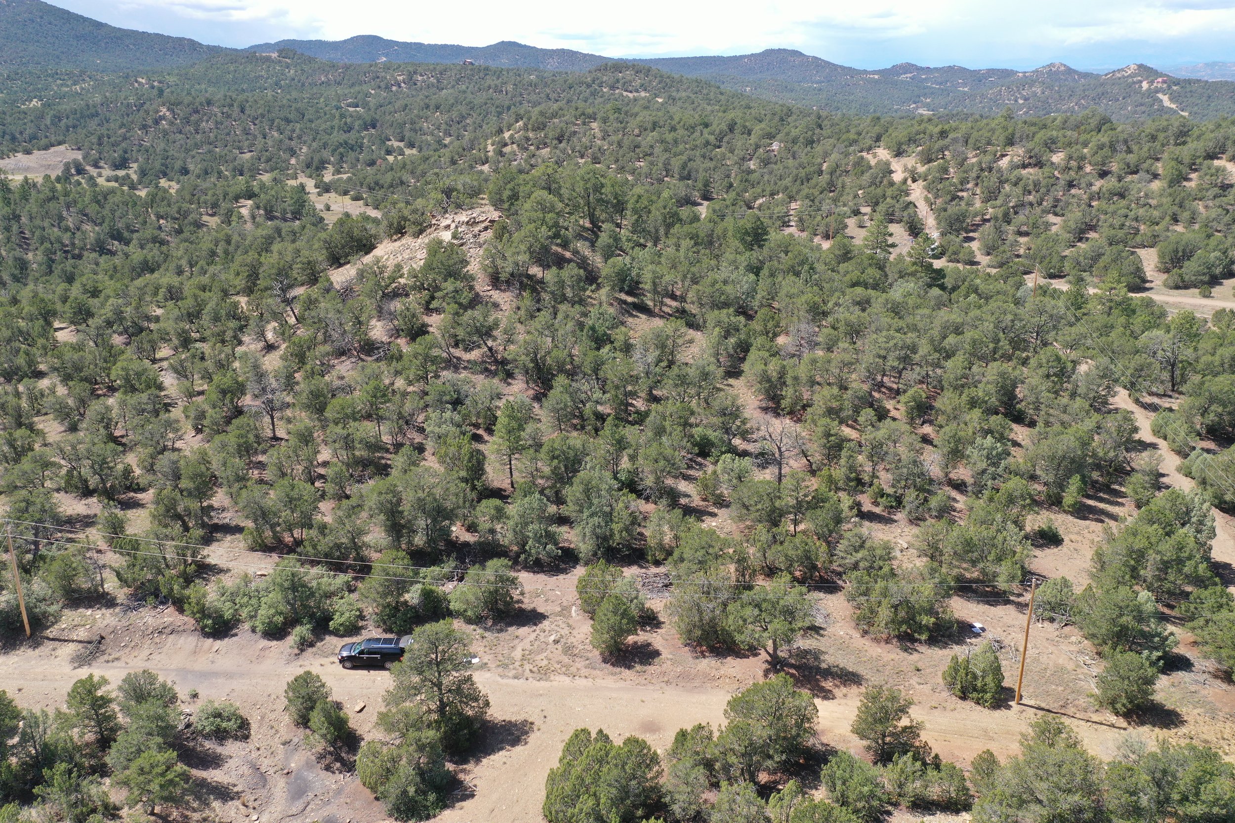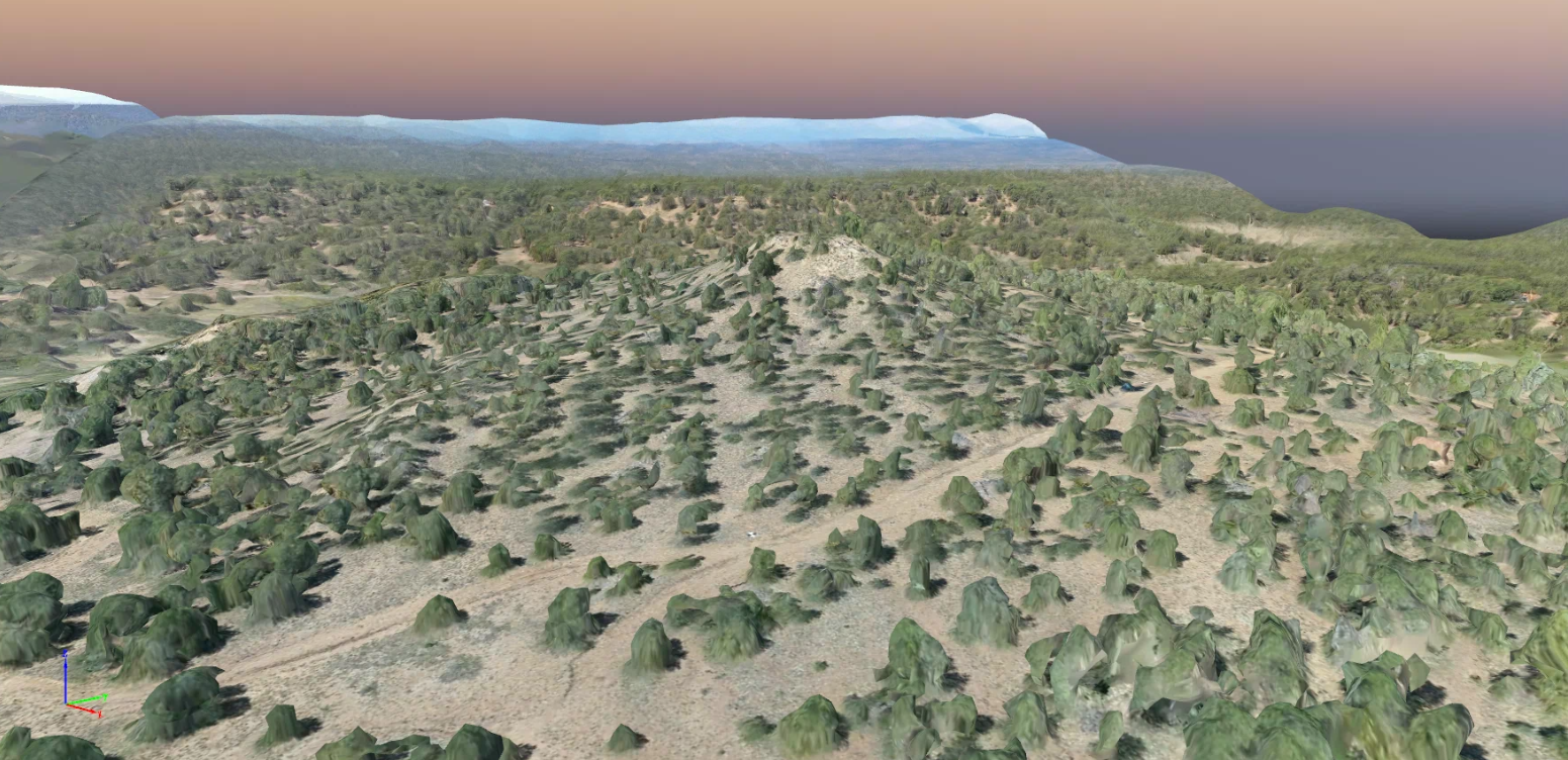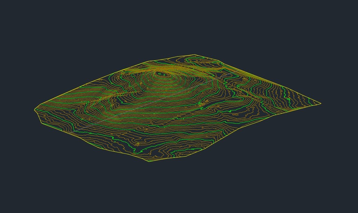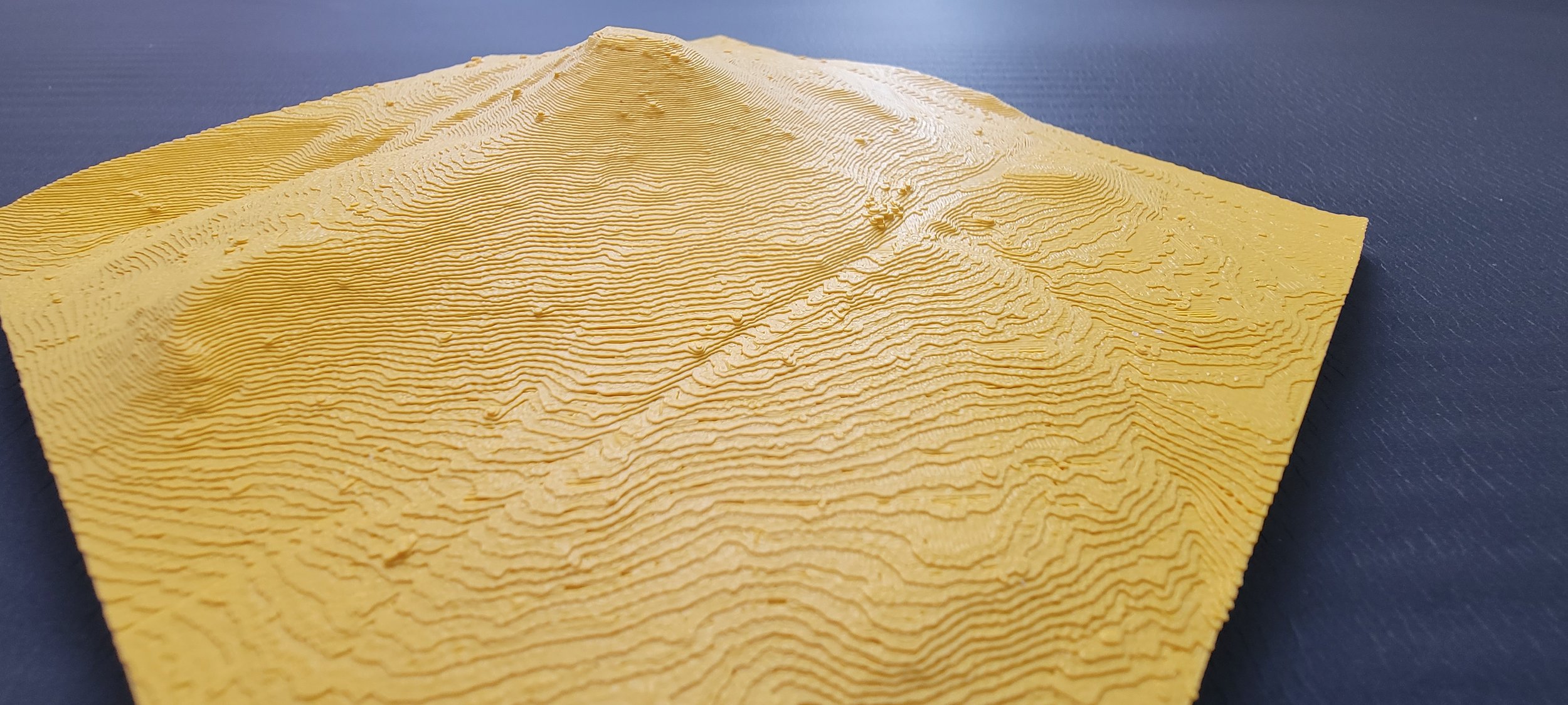
Our client needed a laser scan (drone LiDAR) survey to determine the best location for a new-build cabin getaway. Our geo-referenced survey data covered their entire property and the surrounding areas in high resolution. Vegetation and trees were then removed from the data to show only the terrain. This provides accurate contour lines of the property at an affordable price.