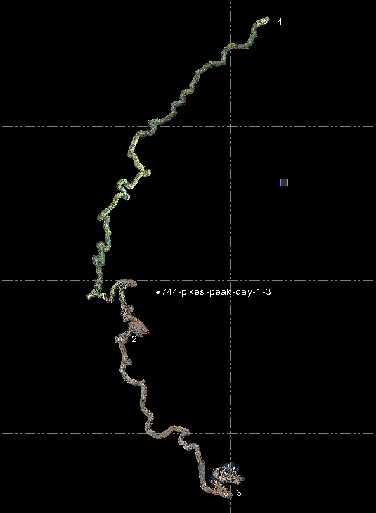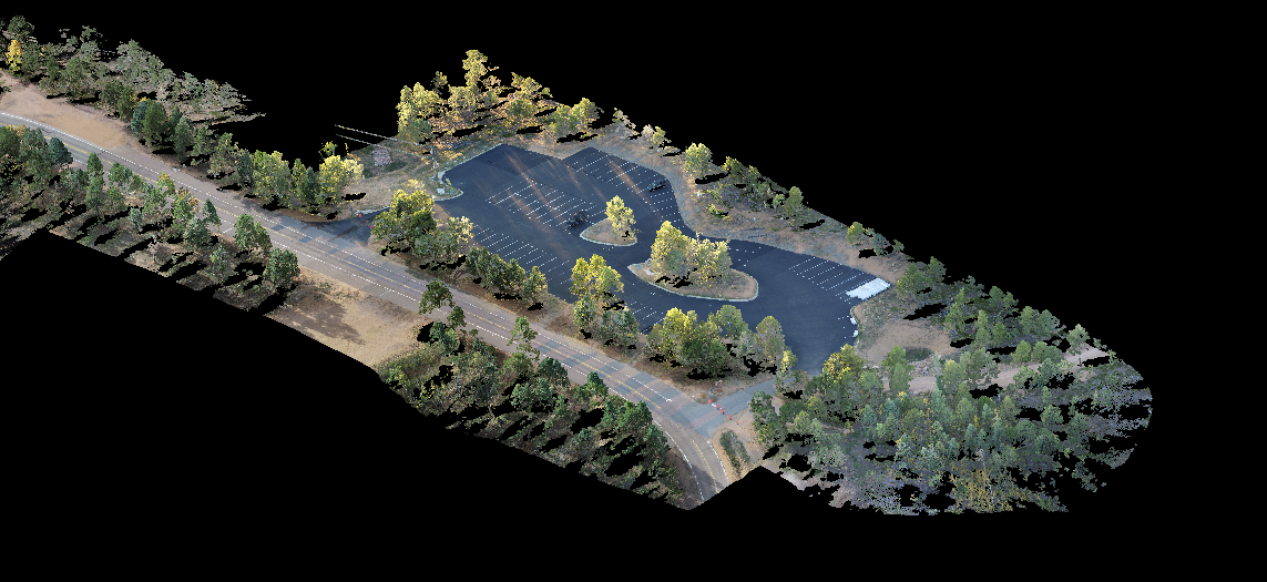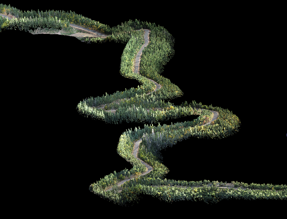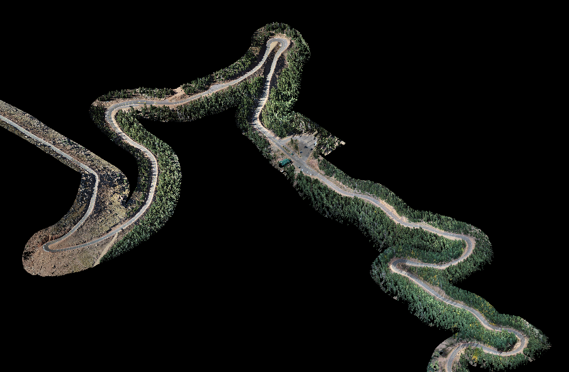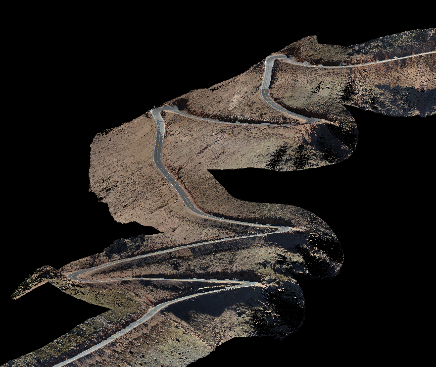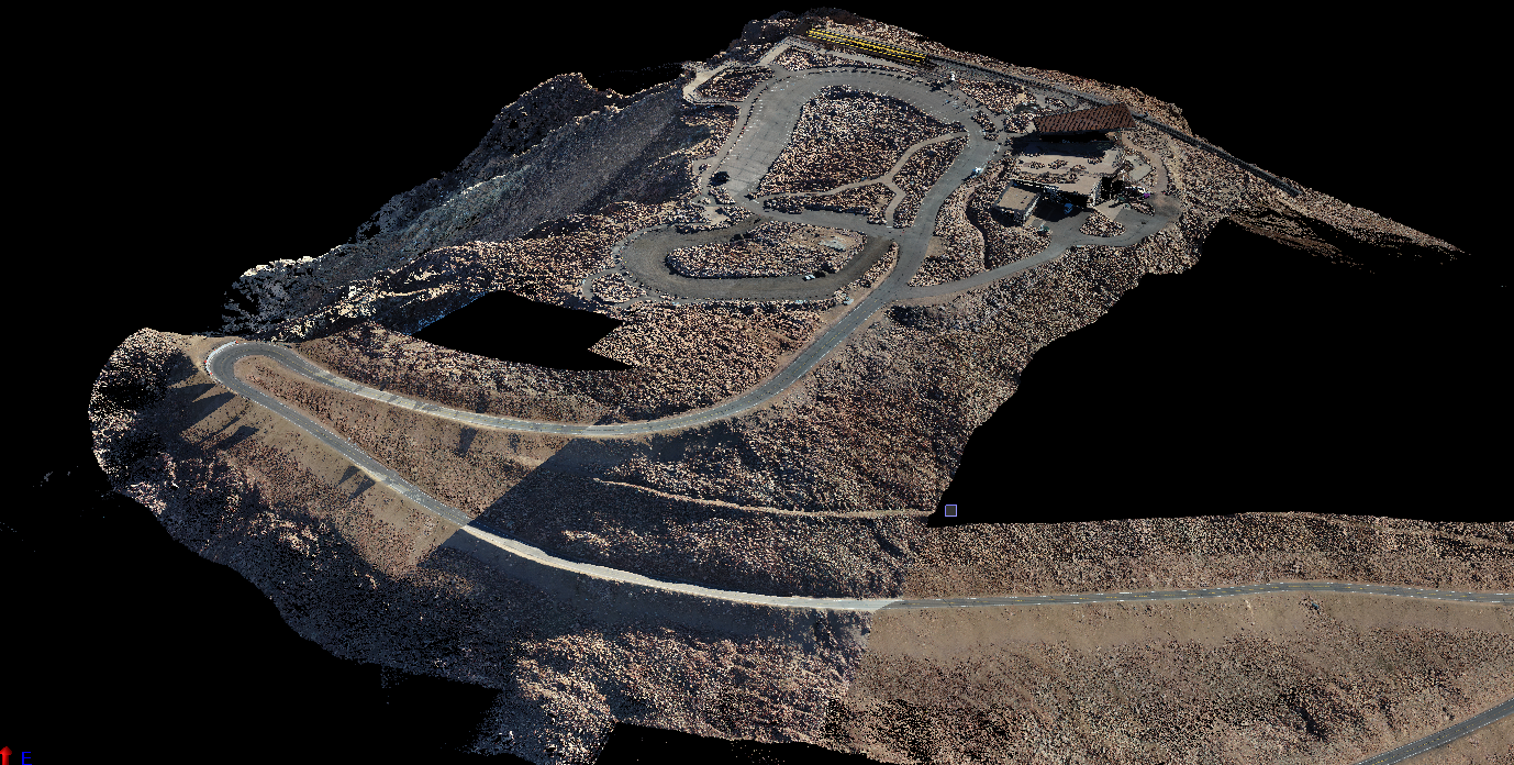
Our client wanted to simulate driving the Pike’s Peak Toll Road. In order to create a 3D model of the road, we first needed to scan all 12 miles of the road. This was accomplished over the course of a few days and each section was georeferenced with survey control to create a complete point cloud of the road and its parking areas.